Twin Farms Public House
Introduction
The photograph on this page of Twin Farms Public House by Newbiggin Hall Scouts as part of the Geograph project.
The Geograph project started in 2005 with the aim of publishing, organising and preserving representative images for every square kilometre of Great Britain, Ireland and the Isle of Man.

There are currently over 7.5m images from over 14,400 individuals and you can help contribute to the project by visiting https://www.geograph.org.uk
Twin Farms Public House
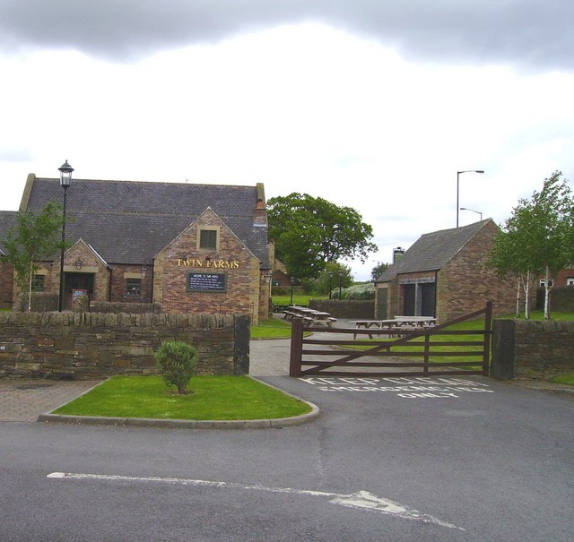
Image: © Newbiggin Hall Scouts Taken: 27 May 2007
Building not shown on OS map, maybe due to it being a new build. A farm let alone 2 farms has never in recent memory been on this site. Just a breweries imagination I guess.
Images are licensed for reuse under creativecommons.org/licenses/by-sa/2.0
Image Location
Latitude
55.015664
Longitude
-1.678133