Descent towards Bradford-on-Avon
Introduction
The photograph on this page of Descent towards Bradford-on-Avon by Graham Horn as part of the Geograph project.
The Geograph project started in 2005 with the aim of publishing, organising and preserving representative images for every square kilometre of Great Britain, Ireland and the Isle of Man.

There are currently over 7.5m images from over 14,400 individuals and you can help contribute to the project by visiting https://www.geograph.org.uk
Descent towards Bradford-on-Avon
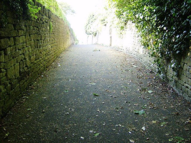
Image: © Graham Horn Taken: 2 May 2007
As Bradford-on-Avon has grown up it has gradually enclosed but still maintained a footpath from the north. Here it is now an alley between high stone walls as it starts the steep descent towards the town
Images are licensed for reuse under creativecommons.org/licenses/by-sa/2.0
Image Location
Latitude
51.351939
Longitude
-2.254692