Information board at Hawkshill Freedown
Introduction
The photograph on this page of Information board at Hawkshill Freedown by Marathon as part of the Geograph project.
The Geograph project started in 2005 with the aim of publishing, organising and preserving representative images for every square kilometre of Great Britain, Ireland and the Isle of Man.

There are currently over 7.5m images from over 14,400 individuals and you can help contribute to the project by visiting https://www.geograph.org.uk
Information board at Hawkshill Freedown
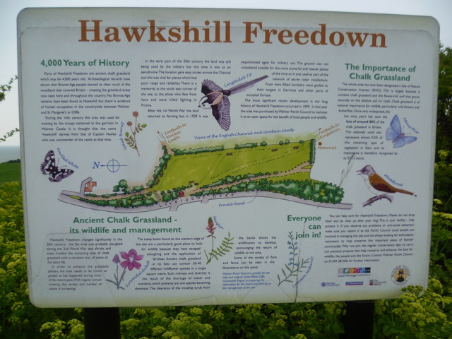
Image: © Marathon Taken: 2 May 2015
This attractive information board at Hawkshill Freedown gives detail of the area's history, especially its military use during both World Wars. See http://www.geograph.org.uk/photo/4458809
Images are licensed for reuse under creativecommons.org/licenses/by-sa/2.0
Image Location
Latitude
51.195627
Longitude
1.396913