Oilseed rape near Chillenden
Introduction
The photograph on this page of Oilseed rape near Chillenden by Marathon as part of the Geograph project.
The Geograph project started in 2005 with the aim of publishing, organising and preserving representative images for every square kilometre of Great Britain, Ireland and the Isle of Man.

There are currently over 7.5m images from over 14,400 individuals and you can help contribute to the project by visiting https://www.geograph.org.uk
Oilseed rape near Chillenden
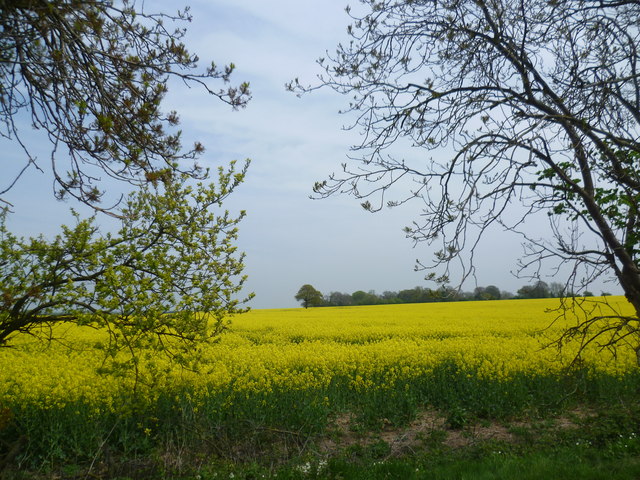
Image: © Marathon Taken: 2 May 2015
The trees surrounding Rowling House and Upper Rowling Farm can be seen in the distance. This is the view from the lane between Claypits and Chillenden Windmill.
Images are licensed for reuse under creativecommons.org/licenses/by-sa/2.0
Image Location
Latitude
51.24772
Longitude
1.24453