Bilbury Rings
Introduction
The photograph on this page of Bilbury Rings by Toby as part of the Geograph project.
The Geograph project started in 2005 with the aim of publishing, organising and preserving representative images for every square kilometre of Great Britain, Ireland and the Isle of Man.

There are currently over 7.5m images from over 14,400 individuals and you can help contribute to the project by visiting https://www.geograph.org.uk
Bilbury Rings
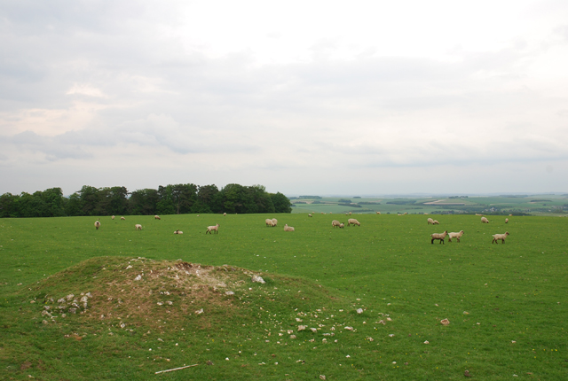
Image: © Toby Taken: 26 May 2007
Sheep pasture land. Not convinced that the mound in the foreground really relates to the rings which are only barely discernible as indentations in the ground.
Images are licensed for reuse under creativecommons.org/licenses/by-sa/2.0
Image Location
Latitude
51.124632
Longitude
-1.988518