Crixhall Court from Buckland Lane
Introduction
The photograph on this page of Crixhall Court from Buckland Lane by Marathon as part of the Geograph project.
The Geograph project started in 2005 with the aim of publishing, organising and preserving representative images for every square kilometre of Great Britain, Ireland and the Isle of Man.

There are currently over 7.5m images from over 14,400 individuals and you can help contribute to the project by visiting https://www.geograph.org.uk
Crixhall Court from Buckland Lane
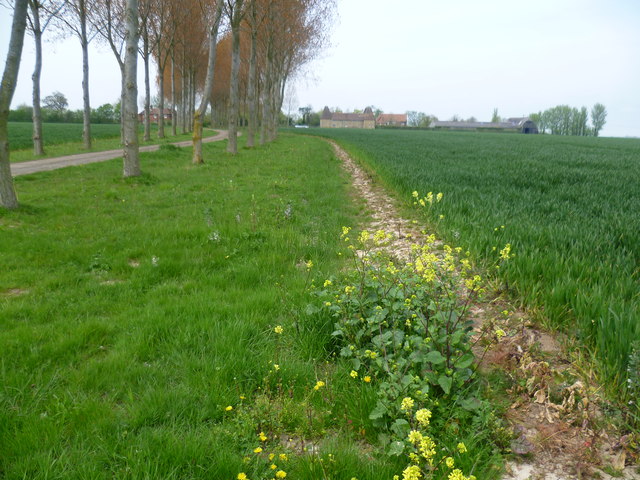
Image: © Marathon Taken: 2 May 2015
Crixhall Court dates from the 16th century and early 17th century. It is Grade II* Listed. A close up can be seen at http://www.geograph.org.uk/photo/4458316 The avenue of trees on the left follows the driveway to Crixhall Court from Buckland Lane. For a detailed description see http://www.britishlistedbuildings.co.uk/en-178252-crixhall-court-staple-kent#.VUZtjvlViko For details of it as an oast house see http://www.geograph.org.uk/photo/928226
Images are licensed for reuse under creativecommons.org/licenses/by-sa/2.0
Image Location
Latitude
51.254431
Longitude
1.249017