Goodnestone Road meets Cave Lane
Introduction
The photograph on this page of Goodnestone Road meets Cave Lane by Marathon as part of the Geograph project.
The Geograph project started in 2005 with the aim of publishing, organising and preserving representative images for every square kilometre of Great Britain, Ireland and the Isle of Man.

There are currently over 7.5m images from over 14,400 individuals and you can help contribute to the project by visiting https://www.geograph.org.uk
Goodnestone Road meets Cave Lane
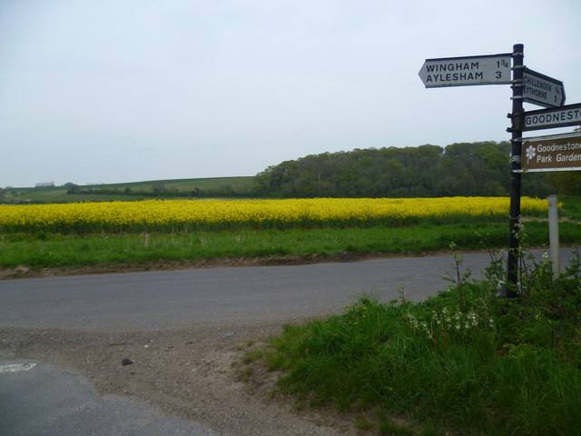
Image: © Marathon Taken: 2 May 2015
Goodnestone Road is to the left while Cave Lane is to the right. The road behind, which actually leads to Goodnestone, does not have a name. The wood beyond the field of oilseed rape is Bushy Rough.
Images are licensed for reuse under creativecommons.org/licenses/by-sa/2.0
Image Location
Latitude
51.254645
Longitude
1.231544