Staden Lane
Introduction
The photograph on this page of Staden Lane by Derek Harper as part of the Geograph project.
The Geograph project started in 2005 with the aim of publishing, organising and preserving representative images for every square kilometre of Great Britain, Ireland and the Isle of Man.

There are currently over 7.5m images from over 14,400 individuals and you can help contribute to the project by visiting https://www.geograph.org.uk
Staden Lane
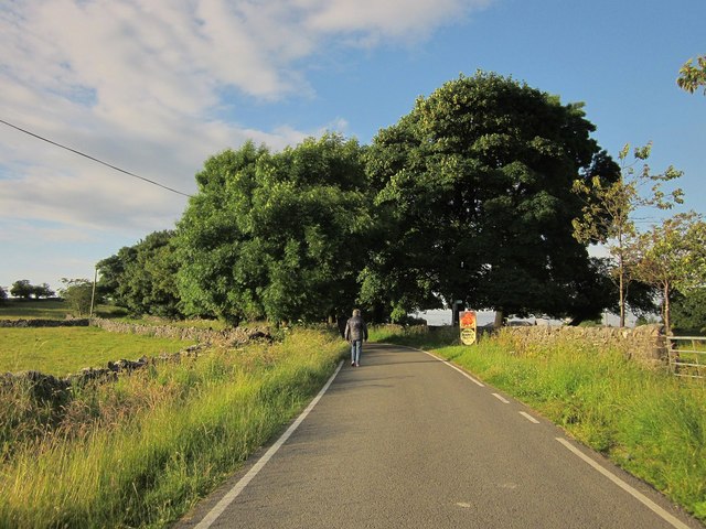
Image: © Derek Harper Taken: 8 Jul 2014
The no through lane on its way between business park and hamlet. On the right, a hen advertises free range eggs; close beside it is a sign for footpath HP4 54/1, which runs behind Rockhead Business Park. I say "runs" - "stumbles" would be a better word; it's not an easy path, as we discovered the following morning
Images are licensed for reuse under creativecommons.org/licenses/by-sa/2.0
Image Location
Latitude
53.245153
Longitude
-1.892814