Oakwood, Bockleton
Introduction
The photograph on this page of Oakwood, Bockleton by Richard Webb as part of the Geograph project.
The Geograph project started in 2005 with the aim of publishing, organising and preserving representative images for every square kilometre of Great Britain, Ireland and the Isle of Man.

There are currently over 7.5m images from over 14,400 individuals and you can help contribute to the project by visiting https://www.geograph.org.uk
Oakwood, Bockleton
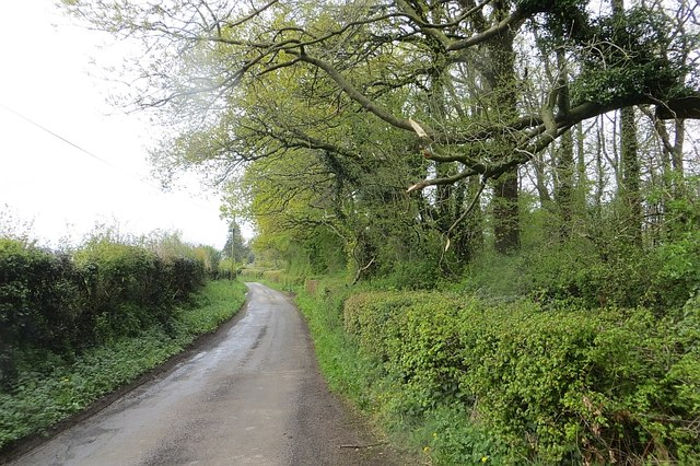
Image: © Richard Webb Taken: 3 May 2015
Looking towards Bockleton, what there is of it as this is an area that suffered massive depopulation in the past, leaving behind churches.
Images are licensed for reuse under creativecommons.org/licenses/by-sa/2.0
Image Location


Leaflet Map data © OpenStreetMap
Latitude
52.250634
Longitude
-2.593203