Upstream along the Loughor, Bonllwyn
Introduction
The photograph on this page of Upstream along the Loughor, Bonllwyn by Jaggery as part of the Geograph project.
The Geograph project started in 2005 with the aim of publishing, organising and preserving representative images for every square kilometre of Great Britain, Ireland and the Isle of Man.

There are currently over 7.5m images from over 14,400 individuals and you can help contribute to the project by visiting https://www.geograph.org.uk
Upstream along the Loughor, Bonllwyn
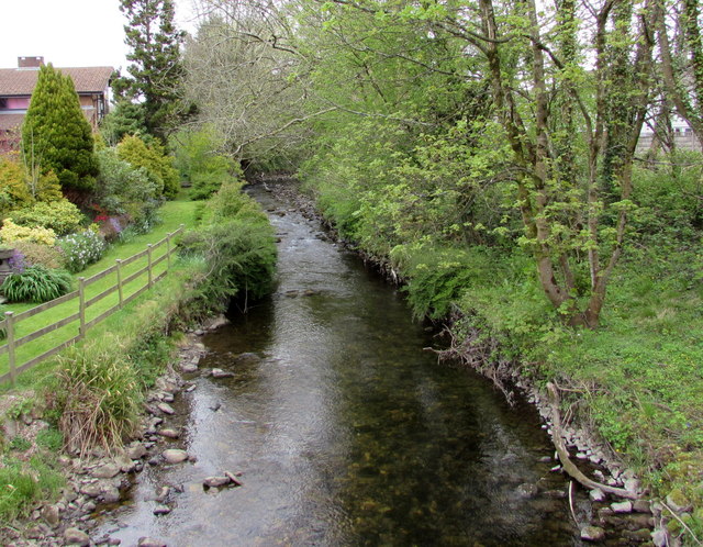
Image: © Jaggery Taken: 1 May 2015
The River Loughor flows towards the camera on the A483 road bridge http://www.geograph.org.uk/photo/4457804 north of Ammanford.
Images are licensed for reuse under creativecommons.org/licenses/by-sa/2.0
Image Location
Latitude
51.802155
Longitude
-3.992802