Hartshill: Queen's Road
Introduction
The photograph on this page of Hartshill: Queen's Road by Jonathan Hutchins as part of the Geograph project.
The Geograph project started in 2005 with the aim of publishing, organising and preserving representative images for every square kilometre of Great Britain, Ireland and the Isle of Man.

There are currently over 7.5m images from over 14,400 individuals and you can help contribute to the project by visiting https://www.geograph.org.uk
Hartshill: Queen's Road
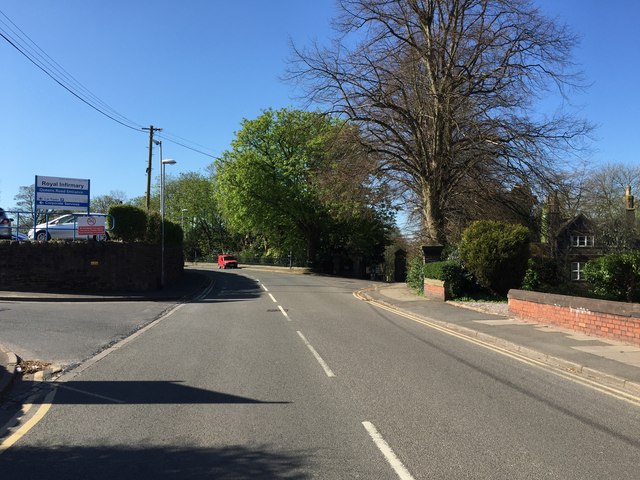
Image: © Jonathan Hutchins Taken: 22 Apr 2015
On the left is the entrance to the North Staffordshire Royal Infirmary, while further on on the right, hidden in shadow, is the entrance to Hartshill Cemetery.
Images are licensed for reuse under creativecommons.org/licenses/by-sa/2.0
Image Location
Latitude
53.00682
Longitude
-2.202487