Quick Edge
Introduction
The photograph on this page of Quick Edge by Rude Health as part of the Geograph project.
The Geograph project started in 2005 with the aim of publishing, organising and preserving representative images for every square kilometre of Great Britain, Ireland and the Isle of Man.

There are currently over 7.5m images from over 14,400 individuals and you can help contribute to the project by visiting https://www.geograph.org.uk
Quick Edge
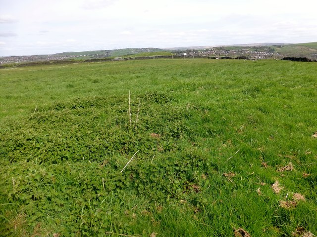
Image: © Rude Health Taken: 1 May 2015
Parked in Sandbed, then up road to summit in field and then bagged the top of the covered reservoir just in case. Name: Quick Edge Hill number: 16652 Height: 294m / 965ft Parent (Ma/M): 2810 Black Hill Section: 36: Lancashire, Cheshire & the Southern Pennines County/UA: Tameside (UA) Class: Tump (200-299m) Grid ref: SD 97111 03374 Summit feature: ground in field S of covered water tank Drop: 36m Col: 258m SD974041
Images are licensed for reuse under creativecommons.org/licenses/by-sa/2.0
Image Location
Latitude
53.526804
Longitude
-2.045215