River Carron, broken weir
Introduction
The photograph on this page of River Carron, broken weir by Robert Murray as part of the Geograph project.
The Geograph project started in 2005 with the aim of publishing, organising and preserving representative images for every square kilometre of Great Britain, Ireland and the Isle of Man.

There are currently over 7.5m images from over 14,400 individuals and you can help contribute to the project by visiting https://www.geograph.org.uk
River Carron, broken weir
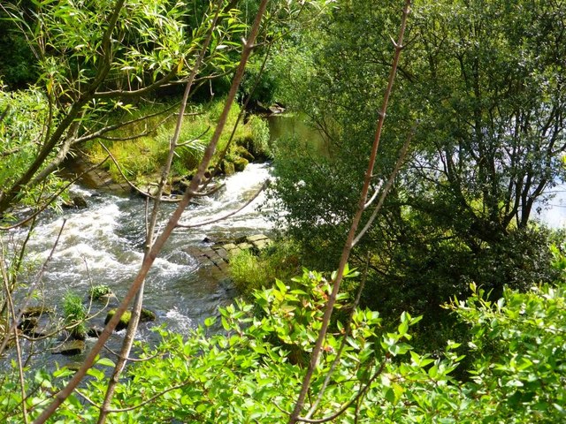
Image: © Robert Murray Taken: 17 Jul 2014
With the demise of the need for water power in the nearby Carron Iron Works the weirs on the river associated with supplying it were broken to allow Salmon access to the upper reaches of the river. See also Image
Images are licensed for reuse under creativecommons.org/licenses/by-sa/2.0
Image Location
Latitude
56.020459
Longitude
-3.799829