Water Tower
Introduction
The photograph on this page of Water Tower by Rude Health as part of the Geograph project.
The Geograph project started in 2005 with the aim of publishing, organising and preserving representative images for every square kilometre of Great Britain, Ireland and the Isle of Man.

There are currently over 7.5m images from over 14,400 individuals and you can help contribute to the project by visiting https://www.geograph.org.uk
Water Tower
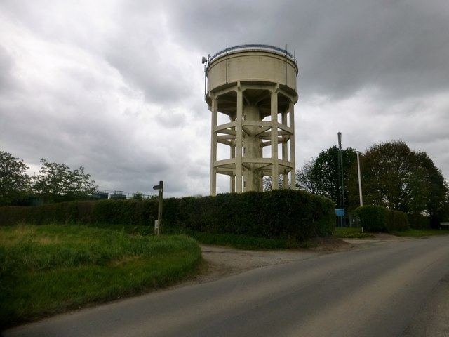
Image: © Rude Health Taken: 2 May 2015
Round the back of the water tower near Haxey is an alternative summit for Tower Hill as there are twin 40 metre contour lines.
Images are licensed for reuse under creativecommons.org/licenses/by-sa/2.0
Image Location
Latitude
53.488886
Longitude
-0.855283