The Coventry Oak in Wyken, Coventry
Introduction
The photograph on this page of The Coventry Oak in Wyken, Coventry by Mat Fascione as part of the Geograph project.
The Geograph project started in 2005 with the aim of publishing, organising and preserving representative images for every square kilometre of Great Britain, Ireland and the Isle of Man.

There are currently over 7.5m images from over 14,400 individuals and you can help contribute to the project by visiting https://www.geograph.org.uk
The Coventry Oak in Wyken, Coventry
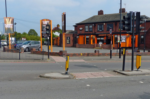
Image: © Mat Fascione Taken: 11 Sep 2014
A Flaming Grill public house along Ansty Road, on the corner with Hipswell Highway.
Images are licensed for reuse under creativecommons.org/licenses/by-sa/2.0
Image Location
Latitude
52.416492
Longitude
-1.459915