Field by Byne's Farm
Introduction
The photograph on this page of Field by Byne's Farm by Oast House Archive as part of the Geograph project.
The Geograph project started in 2005 with the aim of publishing, organising and preserving representative images for every square kilometre of Great Britain, Ireland and the Isle of Man.

There are currently over 7.5m images from over 14,400 individuals and you can help contribute to the project by visiting https://www.geograph.org.uk
Field by Byne's Farm
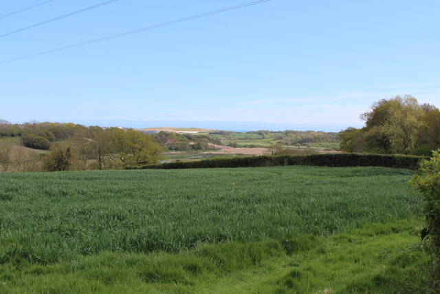
Image: © Oast House Archive Taken: 30 Apr 2015
Combe Valley Way construction in the distance.
Images are licensed for reuse under creativecommons.org/licenses/by-sa/2.0
Image Location


Leaflet Map data © OpenStreetMap
Latitude
50.876214
Longitude
0.495301