Hinshelwood Drive, Ibrox
Introduction
The photograph on this page of Hinshelwood Drive, Ibrox by Richard Sutcliffe as part of the Geograph project.
The Geograph project started in 2005 with the aim of publishing, organising and preserving representative images for every square kilometre of Great Britain, Ireland and the Isle of Man.

There are currently over 7.5m images from over 14,400 individuals and you can help contribute to the project by visiting https://www.geograph.org.uk
Hinshelwood Drive, Ibrox
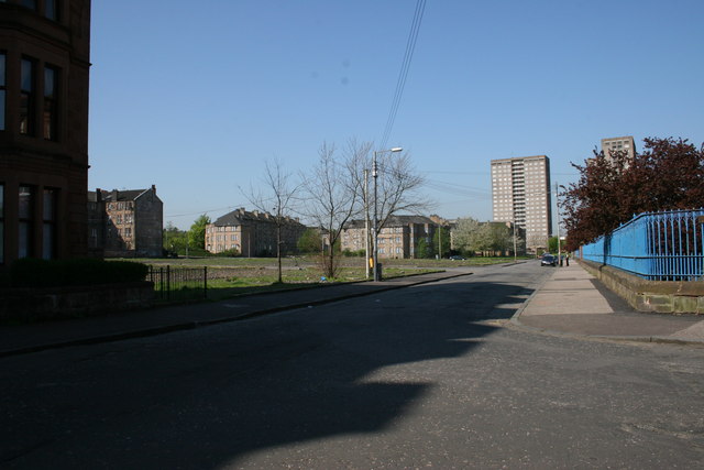
Image: © Richard Sutcliffe Taken: 10 May 2006
This view was taken in 2006. Since then new flats have been built on the open spaces in the centre of the photograph, and the tower blocks in the distance have been demolished.
Images are licensed for reuse under creativecommons.org/licenses/by-sa/2.0
Image Location
Latitude
55.850187
Longitude
-4.309714