Start of track (public footpath) to Mountain Farm
Introduction
The photograph on this page of Start of track (public footpath) to Mountain Farm by Dr Neil Clifton as part of the Geograph project.
The Geograph project started in 2005 with the aim of publishing, organising and preserving representative images for every square kilometre of Great Britain, Ireland and the Isle of Man.

There are currently over 7.5m images from over 14,400 individuals and you can help contribute to the project by visiting https://www.geograph.org.uk
Start of track (public footpath) to Mountain Farm
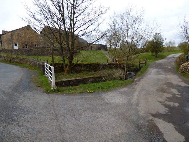
Image: © Dr Neil Clifton Taken: 1 May 2015
Mountain Farm is about 800m away from here, and not even in the same grid square, but this is the end of the track leading to it. The small stream seen descending towards the camera is Black Moss Water, while the farm buildings in the background are Lower Black Moss Farm.
Images are licensed for reuse under creativecommons.org/licenses/by-sa/2.0
Image Location
Latitude
53.872306
Longitude
-2.258511