Top of Ford Lane
Introduction
The photograph on this page of Top of Ford Lane by Derek Harper as part of the Geograph project.
The Geograph project started in 2005 with the aim of publishing, organising and preserving representative images for every square kilometre of Great Britain, Ireland and the Isle of Man.

There are currently over 7.5m images from over 14,400 individuals and you can help contribute to the project by visiting https://www.geograph.org.uk
Top of Ford Lane
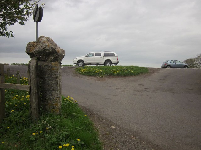
Image: © Derek Harper Taken: 25 Apr 2015
Traffic passes along the A39 on the top of the Polden Hills, with a little grass triangle at the summit of Ford Lane, at the same point as Image
Images are licensed for reuse under creativecommons.org/licenses/by-sa/2.0
Image Location
Latitude
51.14765
Longitude
-2.905764