Heart of Wales Line south from Llandybie towards Ammanford
Introduction
The photograph on this page of Heart of Wales Line south from Llandybie towards Ammanford by Jaggery as part of the Geograph project.
The Geograph project started in 2005 with the aim of publishing, organising and preserving representative images for every square kilometre of Great Britain, Ireland and the Isle of Man.

There are currently over 7.5m images from over 14,400 individuals and you can help contribute to the project by visiting https://www.geograph.org.uk
Heart of Wales Line south from Llandybie towards Ammanford
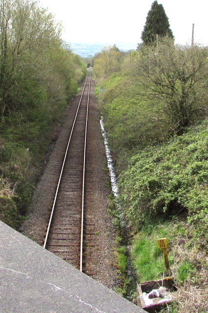
Image: © Jaggery Taken: 1 May 2015
Viewed from the A483 Ammanford Road. Ammanford station http://www.geograph.org.uk/photo/4345208 is about 2.2 km ahead. A small yellow quarter-mile post shows the number 12 above three vertical black lines, railway code for 12¾ miles. This is likely to be the distance to Llanelli station, or to Llandeilo Junction, where this line diverges from the main line east of Llanelli station.
Images are licensed for reuse under creativecommons.org/licenses/by-sa/2.0
Image Location
Latitude
51.814594
Longitude
-4.00162