Maidens Grove, Llandybie
Introduction
The photograph on this page of Maidens Grove, Llandybie by Jaggery as part of the Geograph project.
The Geograph project started in 2005 with the aim of publishing, organising and preserving representative images for every square kilometre of Great Britain, Ireland and the Isle of Man.

There are currently over 7.5m images from over 14,400 individuals and you can help contribute to the project by visiting https://www.geograph.org.uk
Maidens Grove, Llandybie
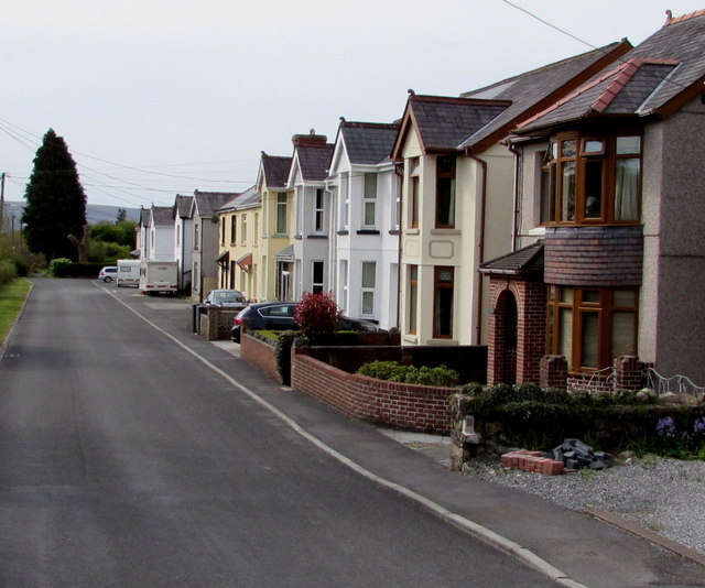
Image: © Jaggery Taken: 1 May 2015
Houses on the south side of the A483 Ammanford Road. The Heart of Wales railway is a few metres out of shot on the left. A sign behind the camera shows that Maidens Grove leads to Gelli Road.
Images are licensed for reuse under creativecommons.org/licenses/by-sa/2.0
Image Location
Latitude
51.815398
Longitude
-4.001946