Approaching Llanfair Clydogau from the southwest
Introduction
The photograph on this page of Approaching Llanfair Clydogau from the southwest by John Baker as part of the Geograph project.
The Geograph project started in 2005 with the aim of publishing, organising and preserving representative images for every square kilometre of Great Britain, Ireland and the Isle of Man.

There are currently over 7.5m images from over 14,400 individuals and you can help contribute to the project by visiting https://www.geograph.org.uk
Approaching Llanfair Clydogau from the southwest
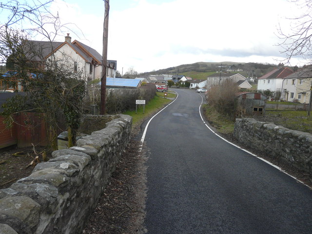
Image: © John Baker Taken: 25 Mar 2015
Here, the B4343 passes over Pont Clywedog above the Nant Clywedog-isaf.
Images are licensed for reuse under creativecommons.org/licenses/by-sa/2.0
Image Location
Latitude
52.141188
Longitude
-4.011998