Track to Nant-byr-uchaf farm
Introduction
The photograph on this page of Track to Nant-byr-uchaf farm by Nigel Brown as part of the Geograph project.
The Geograph project started in 2005 with the aim of publishing, organising and preserving representative images for every square kilometre of Great Britain, Ireland and the Isle of Man.

There are currently over 7.5m images from over 14,400 individuals and you can help contribute to the project by visiting https://www.geograph.org.uk
Track to Nant-byr-uchaf farm
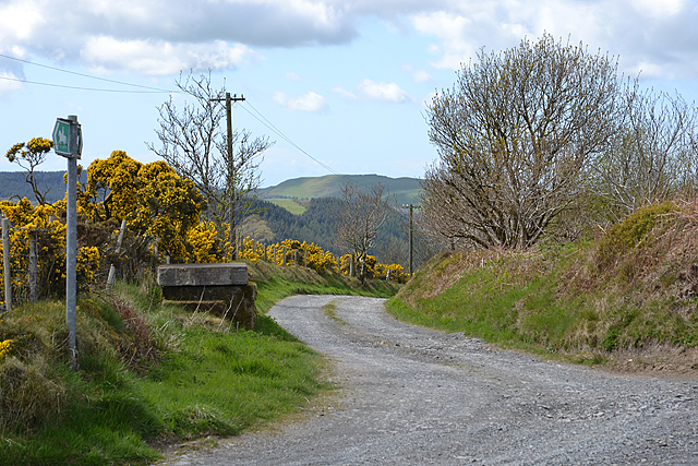
Image: © Nigel Brown Taken: 30 Apr 2015
Also a bridleway which ends up at Tegfriw-fawr farm on the B4340.
Images are licensed for reuse under creativecommons.org/licenses/by-sa/2.0
Image Location
Latitude
52.315313
Longitude
-3.911906