Homestead Close
Introduction
The photograph on this page of Homestead Close by Bob Embleton as part of the Geograph project.
The Geograph project started in 2005 with the aim of publishing, organising and preserving representative images for every square kilometre of Great Britain, Ireland and the Isle of Man.

There are currently over 7.5m images from over 14,400 individuals and you can help contribute to the project by visiting https://www.geograph.org.uk
Homestead Close
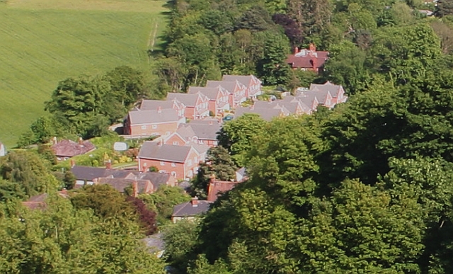
Image: © Bob Embleton Taken: 20 May 2007
Recent infill. The large older house in the trees near the top of the picture is called The Homestead. The grounds to the west have been developed with over a dozen houses (worth 3 million pounds or more!). Viewed from the path going around the eastern side of Black Hill.
Images are licensed for reuse under creativecommons.org/licenses/by-sa/2.0
Image Location
Latitude
52.070323
Longitude
-2.330832