Western end of Malthouse Lane, Llantarnam
Introduction
The photograph on this page of Western end of Malthouse Lane, Llantarnam by Jaggery as part of the Geograph project.
The Geograph project started in 2005 with the aim of publishing, organising and preserving representative images for every square kilometre of Great Britain, Ireland and the Isle of Man.

There are currently over 7.5m images from over 14,400 individuals and you can help contribute to the project by visiting https://www.geograph.org.uk
Western end of Malthouse Lane, Llantarnam
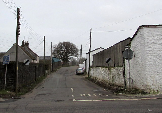
Image: © Jaggery Taken: 28 Feb 2015
View across Newport Road from Pentre Lane at the end of February 2015. A Torfaen County Borough Notice of Application for Planning Permission dated October 8th 2014 is on a nearby lamppost. The outline application for the development of land in this area includes "New highway junction on Newport Road" and "Realignment of Malthouse Lane" so this view will be of historic interest if the application is approved.
Images are licensed for reuse under creativecommons.org/licenses/by-sa/2.0
Image Location
Latitude
51.626629
Longitude
-3.007299