Construction on Sandy Lane
Introduction
The photograph on this page of Construction on Sandy Lane by John Winder as part of the Geograph project.
The Geograph project started in 2005 with the aim of publishing, organising and preserving representative images for every square kilometre of Great Britain, Ireland and the Isle of Man.

There are currently over 7.5m images from over 14,400 individuals and you can help contribute to the project by visiting https://www.geograph.org.uk
Construction on Sandy Lane
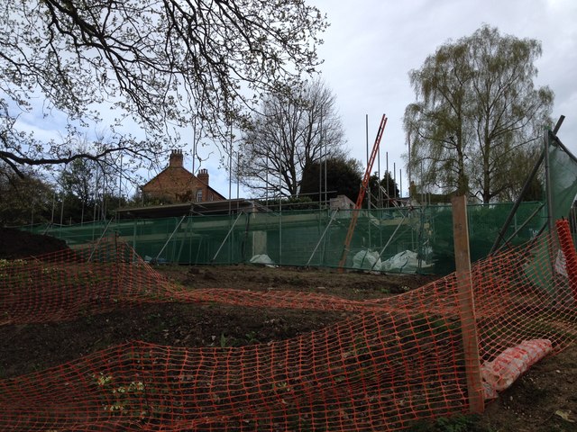
Image: © John Winder Taken: 17 Apr 2015
The building site referred to in Image One of two rather nice houses being built on a former field on the outskirts of Woburn Sands. The first floor has been constructed: the next step is the erection of the timber panels which will make up the second floor, and which at the time this photograph was taken, were still on the back of my lorry!
Images are licensed for reuse under creativecommons.org/licenses/by-sa/2.0
Image Location
Latitude
52.007205
Longitude
-0.64841