View from the A13
Introduction
The photograph on this page of View from the A13 by Martin Addison as part of the Geograph project.
The Geograph project started in 2005 with the aim of publishing, organising and preserving representative images for every square kilometre of Great Britain, Ireland and the Isle of Man.

There are currently over 7.5m images from over 14,400 individuals and you can help contribute to the project by visiting https://www.geograph.org.uk
View from the A13
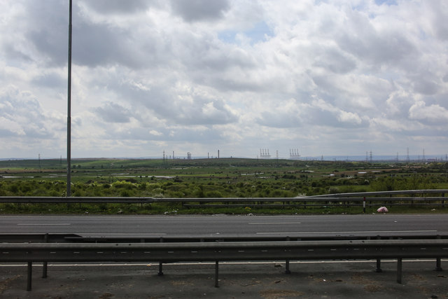
Image: © Martin Addison Taken: 25 Apr 2015
Looking south across the carriageways of the A13. In the middle distance are Bowers Marshes and beyond them the towers and cranes of Coryton and Thames Haven.
Images are licensed for reuse under creativecommons.org/licenses/by-sa/2.0
Image Location
Latitude
51.564844
Longitude
0.517247