Stokes Farmhouse, West End, Long Clawson
Introduction
The photograph on this page of Stokes Farmhouse, West End, Long Clawson by Alan Murray-Rust as part of the Geograph project.
The Geograph project started in 2005 with the aim of publishing, organising and preserving representative images for every square kilometre of Great Britain, Ireland and the Isle of Man.

There are currently over 7.5m images from over 14,400 individuals and you can help contribute to the project by visiting https://www.geograph.org.uk
Stokes Farmhouse, West End, Long Clawson
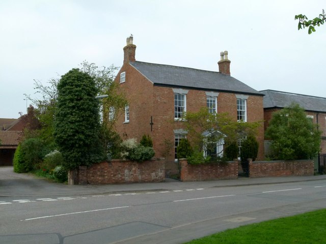
Image: © Alan Murray-Rust Taken: 24 Apr 2015
Early 19th century brick farmhouse, 3-bay layout. At one stage pebble-dashed and with modern concrete tile roof, it has been restored to natural brick with a slate roof. Listed Grade II.
Images are licensed for reuse under creativecommons.org/licenses/by-sa/2.0
Image Location
Latitude
52.835556
Longitude
-0.934881