Bourne Valley Path
Introduction
The photograph on this page of Bourne Valley Path by Glyn Baker as part of the Geograph project.
The Geograph project started in 2005 with the aim of publishing, organising and preserving representative images for every square kilometre of Great Britain, Ireland and the Isle of Man.

There are currently over 7.5m images from over 14,400 individuals and you can help contribute to the project by visiting https://www.geograph.org.uk
Bourne Valley Path
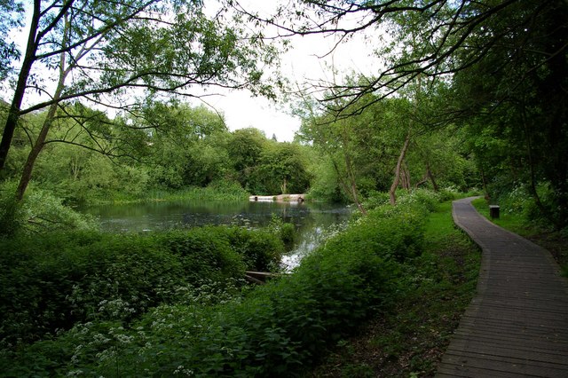
Image: © Glyn Baker Taken: 19 May 2007
This is the Bourne Valley path this runs from the Mersea Rd near Image to Image on the Old Heath Rd a through pleasant scrap of undeveloped land on the southern side of Colchester.
Images are licensed for reuse under creativecommons.org/licenses/by-sa/2.0
Image Location
Latitude
51.876482
Longitude
0.917052