Borough boundary on the Ridgeway
Introduction
The photograph on this page of Borough boundary on the Ridgeway by Stephen Craven as part of the Geograph project.
The Geograph project started in 2005 with the aim of publishing, organising and preserving representative images for every square kilometre of Great Britain, Ireland and the Isle of Man.

There are currently over 7.5m images from over 14,400 individuals and you can help contribute to the project by visiting https://www.geograph.org.uk
Borough boundary on the Ridgeway
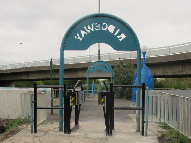
Image: © Stephen Craven Taken: 19 Apr 2015
Greenwich borough had upgraded its section of the Ridgeway path (foreground) in 2015. The section beyond here Image is in Bexley borough and had not been upgraded yet.
Images are licensed for reuse under creativecommons.org/licenses/by-sa/2.0
Image Location
Latitude
51.500824
Longitude
0.121069