Access to the Ridgeway from both sides
Introduction
The photograph on this page of Access to the Ridgeway from both sides by Stephen Craven as part of the Geograph project.
The Geograph project started in 2005 with the aim of publishing, organising and preserving representative images for every square kilometre of Great Britain, Ireland and the Isle of Man.

There are currently over 7.5m images from over 14,400 individuals and you can help contribute to the project by visiting https://www.geograph.org.uk
Access to the Ridgeway from both sides
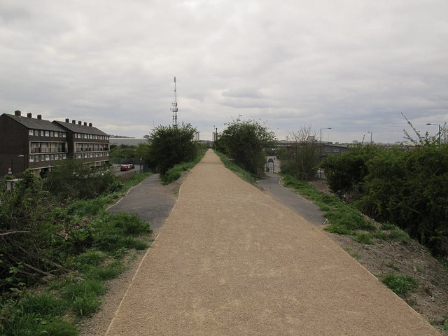
Image: © Stephen Craven Taken: 19 Apr 2015
The sloping paths provide access from Sewell Road in Abbey Wood (left) and Nathan Way in Thamesmead (right). Together they offer a pedestrian/cycle route across the Ridgeway, which is a barrier to motor traffic, with no crossing points for nearly 3km.
Images are licensed for reuse under creativecommons.org/licenses/by-sa/2.0
Image Location
Latitude
51.495546
Longitude
0.104544