West end of Sewell Road, Abbey Wood
Introduction
The photograph on this page of West end of Sewell Road, Abbey Wood by Stephen Craven as part of the Geograph project.
The Geograph project started in 2005 with the aim of publishing, organising and preserving representative images for every square kilometre of Great Britain, Ireland and the Isle of Man.

There are currently over 7.5m images from over 14,400 individuals and you can help contribute to the project by visiting https://www.geograph.org.uk
West end of Sewell Road, Abbey Wood
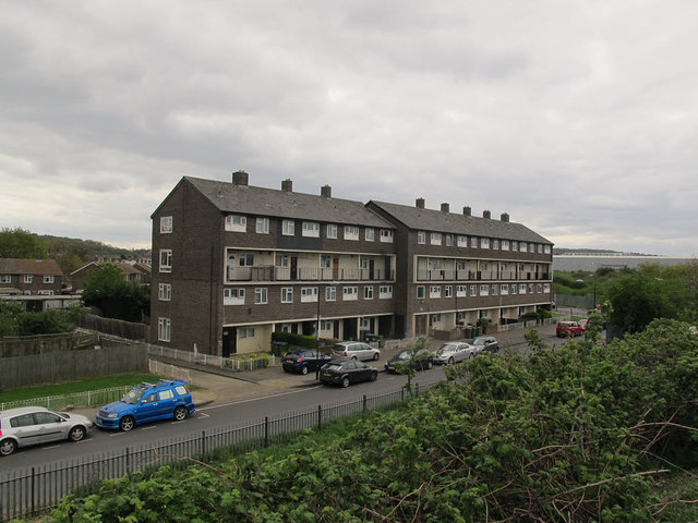
Image: © Stephen Craven Taken: 19 Apr 2015
Sewell Road runs parallel to the Ridgeway (southern outfall sewer - is there a deliberate alliteration?) for 1370m. The area south of the Ridgeway and eastwards from this point is known as Abbey Wood, rather than Thamesmead to the north.
Images are licensed for reuse under creativecommons.org/licenses/by-sa/2.0
Image Location
Latitude
51.495105
Longitude
0.104092