West Walls, Carlisle
Introduction
The photograph on this page of West Walls, Carlisle by Malc McDonald as part of the Geograph project.
The Geograph project started in 2005 with the aim of publishing, organising and preserving representative images for every square kilometre of Great Britain, Ireland and the Isle of Man.

There are currently over 7.5m images from over 14,400 individuals and you can help contribute to the project by visiting https://www.geograph.org.uk
West Walls, Carlisle
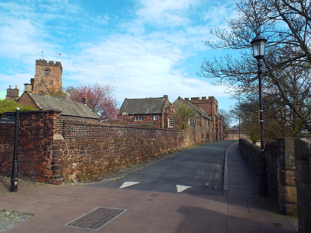
Image: © Malc McDonald Taken: 23 Apr 2015
The West Walls are the main surviving section of city walls which once encircled Carlisle, protecting the city from attack. More of the walls' history can be found here: http://www.matthewpemmott.co.uk/2008/05/carlisle-city-walls-carlisle.html To the left of the image is the tower of Carlisle Cathedral.
Images are licensed for reuse under creativecommons.org/licenses/by-sa/2.0
Image Location
Latitude
54.894459
Longitude
-2.940452