Gay Bowers Road
Introduction
The photograph on this page of Gay Bowers Road by Trevor Harris as part of the Geograph project.
The Geograph project started in 2005 with the aim of publishing, organising and preserving representative images for every square kilometre of Great Britain, Ireland and the Isle of Man.

There are currently over 7.5m images from over 14,400 individuals and you can help contribute to the project by visiting https://www.geograph.org.uk
Gay Bowers Road
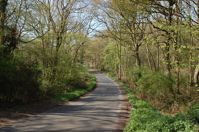
Image: © Trevor Harris Taken: 20 Apr 2015
The road forms the southern boundary of Danbury Common (which is to the right here); the southernmost area of the common is wooded.
Images are licensed for reuse under creativecommons.org/licenses/by-sa/2.0
Image Location
Latitude
51.704862
Longitude
0.579727