Slopes of the Cymbeline's Castle spur
Introduction
The photograph on this page of Slopes of the Cymbeline's Castle spur by Rob Farrow as part of the Geograph project.
The Geograph project started in 2005 with the aim of publishing, organising and preserving representative images for every square kilometre of Great Britain, Ireland and the Isle of Man.

There are currently over 7.5m images from over 14,400 individuals and you can help contribute to the project by visiting https://www.geograph.org.uk
Slopes of the Cymbeline's Castle spur
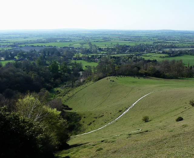
Image: © Rob Farrow Taken: 18 Apr 2015
A spur of land runs westwards from Beacon Hill falling away to the south as seen in this picture. The ancient earthworks and later motte and bailey remains of Cymbeline's Castle are the wooded area at the end of the spur. See shared description below:
Images are licensed for reuse under creativecommons.org/licenses/by-sa/2.0
Image Location
Latitude
51.748597
Longitude
-0.796076