Cymbeline's Castle from top of Beacon Hill
Introduction
The photograph on this page of Cymbeline's Castle from top of Beacon Hill by Rob Farrow as part of the Geograph project.
The Geograph project started in 2005 with the aim of publishing, organising and preserving representative images for every square kilometre of Great Britain, Ireland and the Isle of Man.

There are currently over 7.5m images from over 14,400 individuals and you can help contribute to the project by visiting https://www.geograph.org.uk
Cymbeline's Castle from top of Beacon Hill
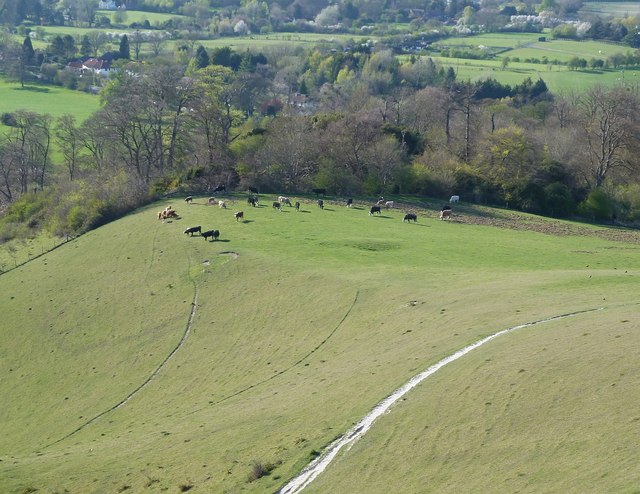
Image: © Rob Farrow Taken: 18 Apr 2015
This is the view to Cymbeline's Castle (see below) from the top of Beacon Hill, the elevational difference between the two is about 150' (45m)
Images are licensed for reuse under creativecommons.org/licenses/by-sa/2.0
Image Location
Latitude
51.74948
Longitude
-0.794459