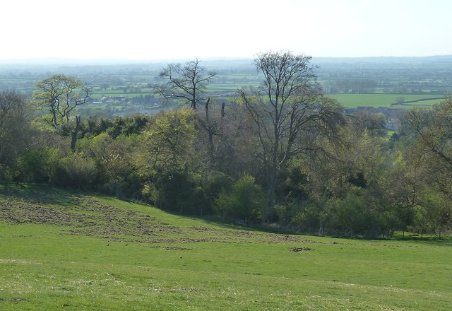
Cymbeline's Castle - from flank of Beacon Hill
Introduction
The photograph on this page of Cymbeline's Castle - from flank of Beacon Hill by Rob Farrow as part of the Geograph project.
The Geograph project started in 2005 with the aim of publishing, organising and preserving representative images for every square kilometre of Great Britain, Ireland and the Isle of Man.
There are currently over 7.5m images from over 14,400 individuals and you can help contribute to the project by visiting https://www.geograph.org.uk

Image: © Rob Farrow Taken: 18 Apr 2015
Looking across at the wooded and scrubby enclosure that contains Cymbeline's Castle earthworks as viewed from the Cradle Footpath that skirts Beacon Hill. To quote from the English Heritage listing http://list.historicengland.org.uk/resultsingle.aspx?uid=1013941&searchtype=mapsearch "Cymbeline's Castle occupies a prominent position on the tip of a spur below Beacon Hill, on the northern edge of the Chiltern escarpment. This commanding location overlooks the villages of Ellesborough and Little Kimble and provides wide views across the Vale of Aylesbury. The main stronghold, a conical mound (or motte), measures about 42m in diameter and between 6m and 8m in height in relation to the natural slope of the spur. A level area on the summit, c.15m wide, indicates the dimensions of the timber tower which originally would have stood here, and there is a smaller semicircular annexe cut into the slope below the summit on the northern side."

