Staunton Road bank reinforcement near Monmouth
Introduction
The photograph on this page of Staunton Road bank reinforcement near Monmouth by Jaggery as part of the Geograph project.
The Geograph project started in 2005 with the aim of publishing, organising and preserving representative images for every square kilometre of Great Britain, Ireland and the Isle of Man.

There are currently over 7.5m images from over 14,400 individuals and you can help contribute to the project by visiting https://www.geograph.org.uk
Staunton Road bank reinforcement near Monmouth
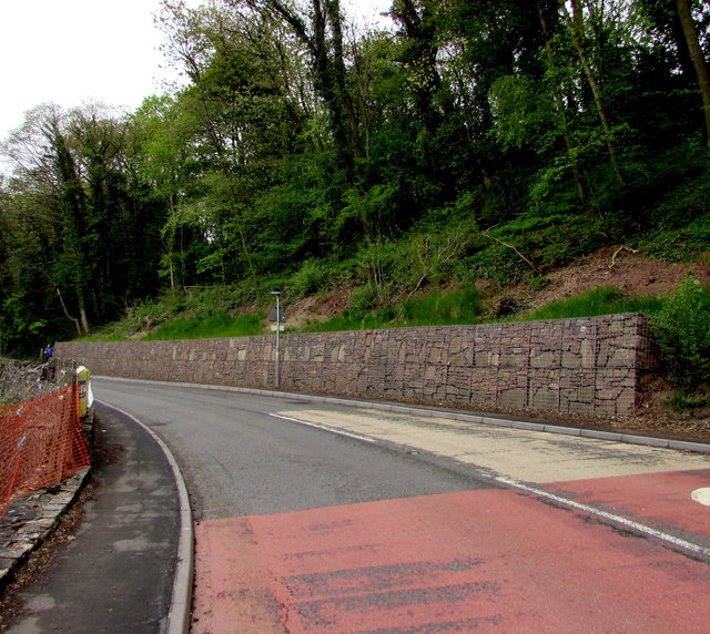
Image: © Jaggery Taken: 26 Apr 2015
Viewed across the A4136 Staunton Road in late April 2015. The stone wall, reinforced by wire meshing, is not in a June 2011 Google Earth Street View.
Images are licensed for reuse under creativecommons.org/licenses/by-sa/2.0
Image Location
Latitude
51.810642
Longitude
-2.704319