Field near Davidstow
Introduction
The photograph on this page of Field near Davidstow by Derek Harper as part of the Geograph project.
The Geograph project started in 2005 with the aim of publishing, organising and preserving representative images for every square kilometre of Great Britain, Ireland and the Isle of Man.

There are currently over 7.5m images from over 14,400 individuals and you can help contribute to the project by visiting https://www.geograph.org.uk
Field near Davidstow
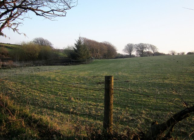
Image: © Derek Harper Taken: 20 Apr 2015
From the lane to Tremail, in evening light. A tributary of the Inny flows behind the trees on the left; it doesn't have very far to go, as the River Inny is only about 40 metres behind the camera.
Images are licensed for reuse under creativecommons.org/licenses/by-sa/2.0
Image Location


Leaflet Map data © OpenStreetMap
Latitude
50.650755
Longitude
-4.608433