Splatt
Introduction
The photograph on this page of Splatt by Derek Harper as part of the Geograph project.
The Geograph project started in 2005 with the aim of publishing, organising and preserving representative images for every square kilometre of Great Britain, Ireland and the Isle of Man.

There are currently over 7.5m images from over 14,400 individuals and you can help contribute to the project by visiting https://www.geograph.org.uk
Splatt
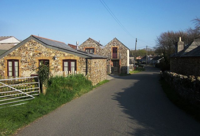
Image: © Derek Harper Taken: 20 Apr 2015
The village street - or should that be "hamlet street", seen from the former railway bridge. At about two dozen properties, I suppose village is justified.
Images are licensed for reuse under creativecommons.org/licenses/by-sa/2.0
Image Location
Latitude
50.669957
Longitude
-4.51651