Embankment at the northern edge of Chippenham Recreation Ground, Monmouth
Introduction
The photograph on this page of Embankment at the northern edge of Chippenham Recreation Ground, Monmouth by Jaggery as part of the Geograph project.
The Geograph project started in 2005 with the aim of publishing, organising and preserving representative images for every square kilometre of Great Britain, Ireland and the Isle of Man.

There are currently over 7.5m images from over 14,400 individuals and you can help contribute to the project by visiting https://www.geograph.org.uk
Embankment at the northern edge of Chippenham Recreation Ground, Monmouth
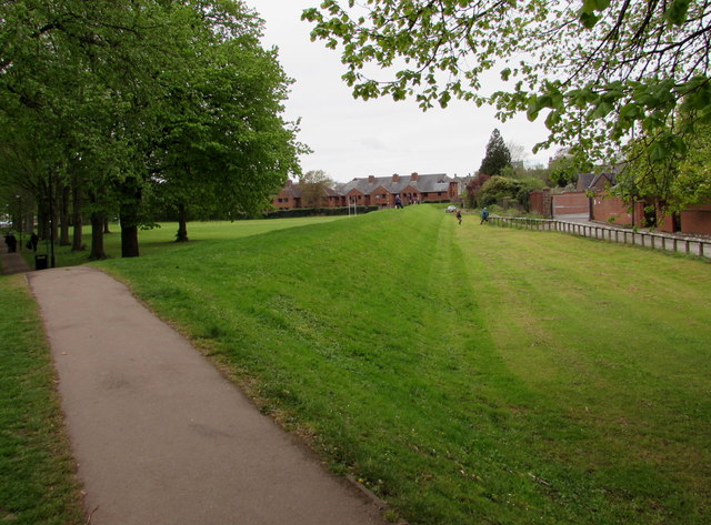
Image: © Jaggery Taken: 26 Apr 2015
A remnant of Monmouth's medieval town wall in an area prone to river flooding, located between the River Monnow and the River Wye.
Images are licensed for reuse under creativecommons.org/licenses/by-sa/2.0
Image Location
Latitude
51.810574
Longitude
-2.715632