Approaching Trefranck
Introduction
The photograph on this page of Approaching Trefranck by Derek Harper as part of the Geograph project.
The Geograph project started in 2005 with the aim of publishing, organising and preserving representative images for every square kilometre of Great Britain, Ireland and the Isle of Man.

There are currently over 7.5m images from over 14,400 individuals and you can help contribute to the project by visiting https://www.geograph.org.uk
Approaching Trefranck
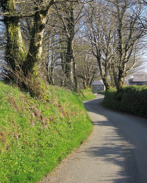
Image: © Derek Harper Taken: 20 Apr 2015
A sinuous little stretch between banks and trees of the lane from Cold Northcott, looking in the opposite direction from the same spot as Image The buildings at Trefranck, just visible, are in Image
Images are licensed for reuse under creativecommons.org/licenses/by-sa/2.0
Image Location
Latitude
50.637106
Longitude
-4.542334