Moorland at Sharptor
Introduction
The photograph on this page of Moorland at Sharptor by Derek Harper as part of the Geograph project.
The Geograph project started in 2005 with the aim of publishing, organising and preserving representative images for every square kilometre of Great Britain, Ireland and the Isle of Man.

There are currently over 7.5m images from over 14,400 individuals and you can help contribute to the project by visiting https://www.geograph.org.uk
Moorland at Sharptor
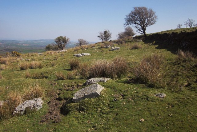
Image: © Derek Harper Taken: 20 Apr 2015
The old mineral railway track bed shown in Image and Image must be immediately behind the wall on the right.
Images are licensed for reuse under creativecommons.org/licenses/by-sa/2.0
Image Location


Leaflet Map data © OpenStreetMap
Latitude
50.531051
Longitude
-4.459012