On the corner of High Street and Church Lane, Newington
Introduction
The photograph on this page of On the corner of High Street and Church Lane, Newington by Marathon as part of the Geograph project.
The Geograph project started in 2005 with the aim of publishing, organising and preserving representative images for every square kilometre of Great Britain, Ireland and the Isle of Man.

There are currently over 7.5m images from over 14,400 individuals and you can help contribute to the project by visiting https://www.geograph.org.uk
On the corner of High Street and Church Lane, Newington
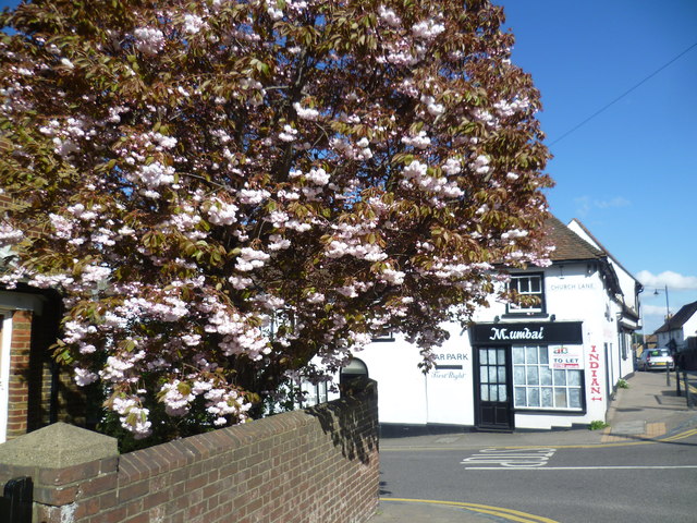
Image: © Marathon Taken: 25 Apr 2015
High Street in Newington is route of the old Roman road Watling Street as followed by Chaucer. It was also once the route of the A2.
Images are licensed for reuse under creativecommons.org/licenses/by-sa/2.0
Image Location
Latitude
51.351756
Longitude
0.668996