Junction of Justin's Hill and Highmeadow, Wyesham
Introduction
The photograph on this page of Junction of Justin's Hill and Highmeadow, Wyesham by Jaggery as part of the Geograph project.
The Geograph project started in 2005 with the aim of publishing, organising and preserving representative images for every square kilometre of Great Britain, Ireland and the Isle of Man.

There are currently over 7.5m images from over 14,400 individuals and you can help contribute to the project by visiting https://www.geograph.org.uk
Junction of Justin's Hill and Highmeadow, Wyesham
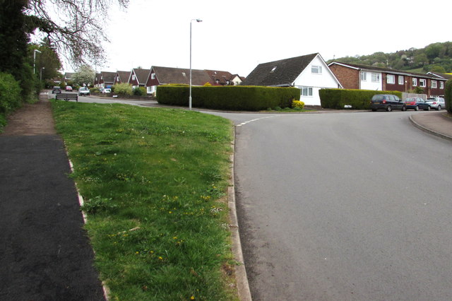
Image: © Jaggery Taken: 26 Apr 2015
Viewed from Justin's Hill which continues on the left. Highmeadow is on the right.
Images are licensed for reuse under creativecommons.org/licenses/by-sa/2.0
Image Location
Latitude
51.80904
Longitude
-2.701538