Road Bridge (A689)
Introduction
The photograph on this page of Road Bridge (A689) by Ayre as part of the Geograph project.
The Geograph project started in 2005 with the aim of publishing, organising and preserving representative images for every square kilometre of Great Britain, Ireland and the Isle of Man.

There are currently over 7.5m images from over 14,400 individuals and you can help contribute to the project by visiting https://www.geograph.org.uk
Road Bridge (A689)
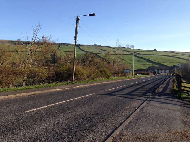
Image: © Ayre Taken: 22 Apr 2015
This view of the A689 is between Daddry Shield and the farm at Bridge End. The River Wear runs under it.
Images are licensed for reuse under creativecommons.org/licenses/by-sa/2.0
Image Location
Latitude
54.737132
Longitude
-2.163819