Council Office, High Street, Llandybie
Introduction
The photograph on this page of Council Office, High Street, Llandybie by Jaggery as part of the Geograph project.
The Geograph project started in 2005 with the aim of publishing, organising and preserving representative images for every square kilometre of Great Britain, Ireland and the Isle of Man.

There are currently over 7.5m images from over 14,400 individuals and you can help contribute to the project by visiting https://www.geograph.org.uk
Council Office, High Street, Llandybie
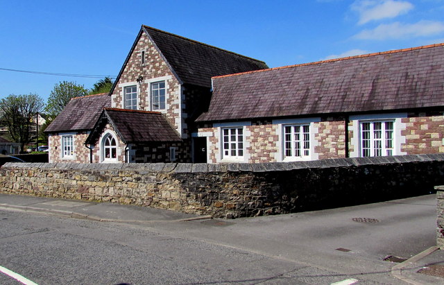
Image: © Jaggery Taken: 23 Apr 2015
The former school building is the office of Llandybie Community Council. The council is responsible for four wards (Llandybie, Penygroes, Saron and Heolddu).
Images are licensed for reuse under creativecommons.org/licenses/by-sa/2.0
Image Location


Leaflet Map data © OpenStreetMap
Latitude
51.820702
Longitude
-4.00726