The village sign and church at Upchurch
Introduction
The photograph on this page of The village sign and church at Upchurch by Marathon as part of the Geograph project.
The Geograph project started in 2005 with the aim of publishing, organising and preserving representative images for every square kilometre of Great Britain, Ireland and the Isle of Man.

There are currently over 7.5m images from over 14,400 individuals and you can help contribute to the project by visiting https://www.geograph.org.uk
The village sign and church at Upchurch
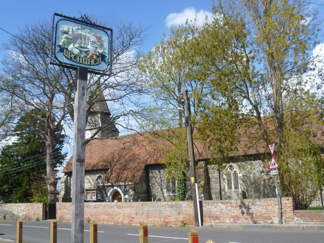
Image: © Marathon Taken: 25 Apr 2015
The village sign shows the Church of St Mary the Virgin surrounded by various fruits, including pears, strawberries, apples, plums and cherries. The church is best known for its two-stage spire on top of the Norman tower. For a close up of the sign see http://www.geograph.org.uk/photo/4446469
Images are licensed for reuse under creativecommons.org/licenses/by-sa/2.0
Image Location
Latitude
51.376522
Longitude
0.647731