New Street, at the side of Appledore Community Hall
Introduction
The photograph on this page of New Street, at the side of Appledore Community Hall by Robin Stott as part of the Geograph project.
The Geograph project started in 2005 with the aim of publishing, organising and preserving representative images for every square kilometre of Great Britain, Ireland and the Isle of Man.

There are currently over 7.5m images from over 14,400 individuals and you can help contribute to the project by visiting https://www.geograph.org.uk
New Street, at the side of Appledore Community Hall
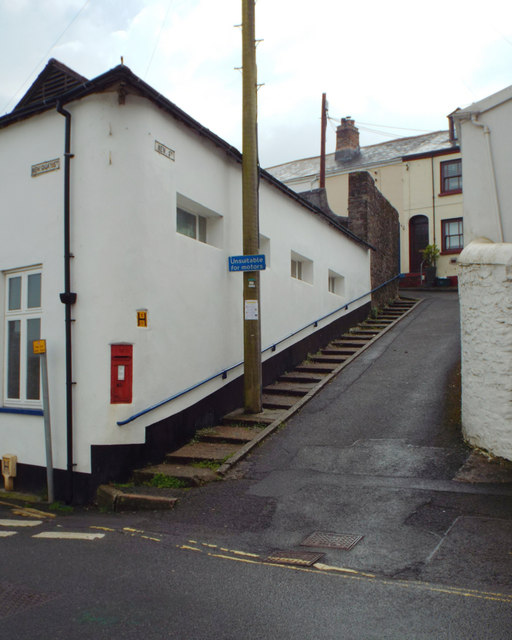
Image: © Robin Stott Taken: 29 Apr 2014
Unsuitable for motors, says the blue sign. The postbox number is EX39 78. The Community Hall fronts on to New Quay Street Image The main road into the village continues as Marine Parade, lower left.
Images are licensed for reuse under creativecommons.org/licenses/by-sa/2.0
Image Location
Latitude
51.05135
Longitude
-4.193396