M60 Near The Trafford Centre
Introduction
The photograph on this page of M60 Near The Trafford Centre by Richard Cooke as part of the Geograph project.
The Geograph project started in 2005 with the aim of publishing, organising and preserving representative images for every square kilometre of Great Britain, Ireland and the Isle of Man.

There are currently over 7.5m images from over 14,400 individuals and you can help contribute to the project by visiting https://www.geograph.org.uk
M60 Near The Trafford Centre
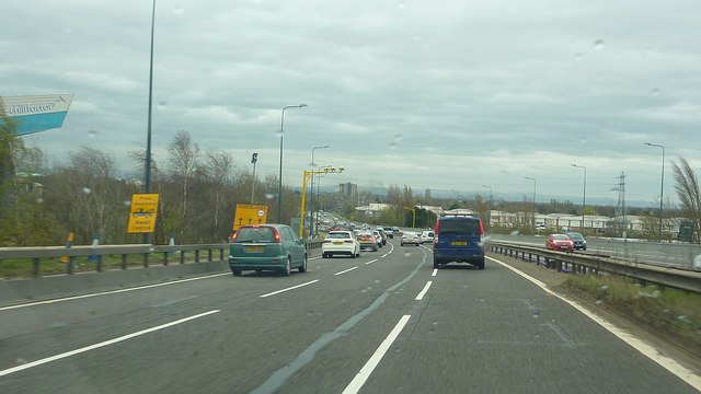
Image: © Richard Cooke Taken: 12 Apr 2015
Heading southbound (anti-clockwise) having just passed over Barton High Level Bridge. The narrow lanes are in operation as part of the work to upgrade the M60 to a smart motorway. The exit slip to the Trafford Centre is just a little further on beyond the photograph. A dry ski slope (Chill Factore) is just visible to the top left.
Images are licensed for reuse under creativecommons.org/licenses/by-sa/2.0
Image Location
Latitude
53.466929
Longitude
-2.365852